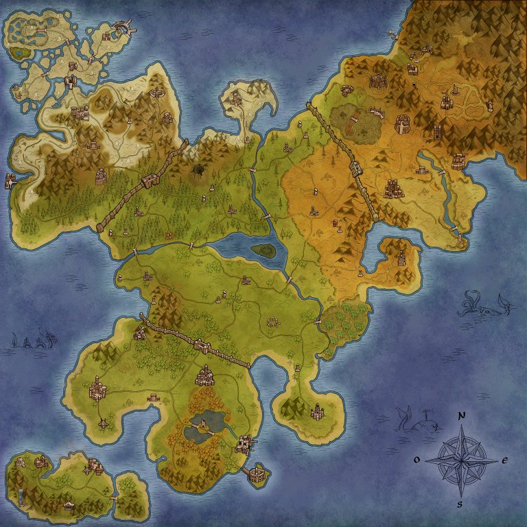
File:World Map.jpg
Jump to navigation
Jump to search
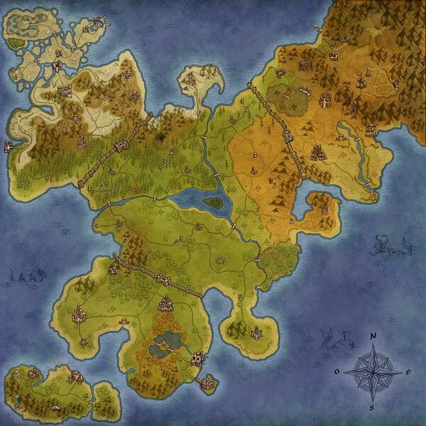
Size of this preview: 600 × 600 pixels. Other resolution: 768 × 768 pixels.
Original file (768 × 768 pixels, file size: 168 KB, MIME type: image/jpeg)
Summary[edit | edit source]
Importing file
File history
Click on a date/time to view the file as it appeared at that time.
| Date/Time | Thumbnail | Dimensions | User | Comment | |
|---|---|---|---|---|---|
| current | 21:08, 6 November 2020 | | 768 × 768 (168 KB) | Joshua2504 (talk | contribs) |
You cannot overwrite this file.
File usage
The following file is a duplicate of this file (more details):
The following 74 pages use this file:
- Algaros Surroundings
- Allahed's Beach
- Allahed's Monument
- Allahed Town
- Altaruk City
- Arn Eyllis
- Arvanna's Valley
- Arvanna Woods North
- Barukahn's Domains
- Berserkka Island
- Birka City
- Bridge Beach
- Camp Desert
- Central Prairie
- Crystal Island
- Crystal Valley
- Desert Door
- Desert Valley
- Dohsim Town
- Dvergardunn Ruins
- East Marelah's Forest
- Elther Woods
- Essadi Village
- Eternal White Island
- Fisgael City
- Frozen Lake
- Fyrkat Port
- Geysers Field
- Gokstad Port
- Green Valley
- Herulf's Slope
- Hopstad's Coliseum
- Hopstad Town
- Ignean Ruins
- Ilreah Village
- Initiation Summit
- Initiation Valley
- Kheled Valley
- Korsum Town
- Lam Beach
- Lam Island
- Lam Prairie
- Larei Island
- Lost Valhalla
- Lycan's Lair
- Medenet City
- Meleketi Town
- Menirah Surroundings
- Montsognir City
- Mount's Oasis
- Mount Arena
- Myil Forest
- Nasraah Tej Village
- New Beach
- Northeast Dead Prairie
- Northern Mount
- Northern Ruins
- Pines Crossroads
- Raeraia City
- Rhy's Coast
- Rocky Pines
- Rottersvall Village
- Ruins
- Skolheim Port
- Skolheim Village
- Southwest Prairie
- Swamp Prairie
- Thundermace's Ruins
- Ulren Asir Village
- Valley Descent
- Volcanic Zone
- Wall Prairie
- West Wall Forest
- Withering Heights
